Tallahassee weatherWhat’s on in Tallahassee →Events →
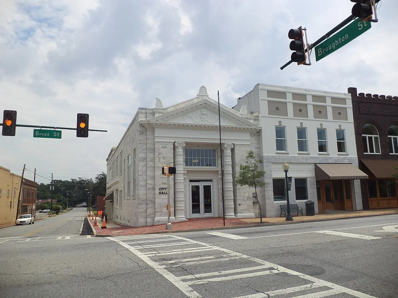
Bainbridge City Hall

Get out of town

Day trips from Tallahassee

12 nearby parks, towns and places to explore, ordered by straight-line distance.

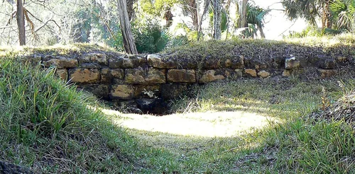
StMarks FrtBombproof Wall, San Marcos de Apalache Historic State ParkState park

San Marcos de Apalache Historic State Park

20 miles south · straight-line distance

Place in Florida listed on National Register of Historic Places.

Confirm the visitor entrance, hours, reservations, access and seasonal conditions. Islands or water destinations may require different transport.
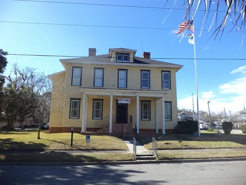
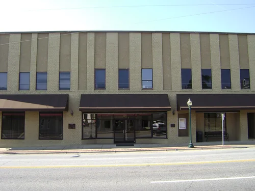
Monticello City HallTown

Monticello

26 miles east · straight-line distanceAbout 35 min by car (27 road miles, typical traffic, checked October 2026)

City in Jefferson County, Florida, United States.

Confirm the visitor entrance, hours, reservations, access and seasonal conditions. Islands or water destinations may require different transport.
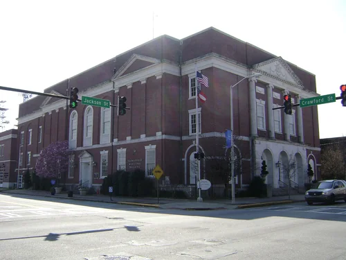
Cairo City HallTown

Cairo

31 miles north · straight-line distanceAbout 45 min by car (35 road miles, typical traffic, checked October 2026)

City in Grady County, Georgia, United States.

Confirm the visitor entrance, hours, reservations, access and seasonal conditions. Islands or water destinations may require different transport.
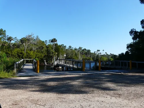
Thomasville Municipal Building (North corner)Town

Thomasville

33 miles northeast · straight-line distanceAbout 40 min by car (34 road miles, typical traffic, checked October 2026)

City in and the county seat of Thomas County, Georgia, United States.

Confirm the visitor entrance, hours, reservations, access and seasonal conditions. Islands or water destinations may require different transport.
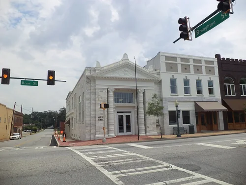
Econfina River State ParkState park

Econfina River State Park

34 miles southeast · straight-line distance

Florida state park.

Confirm the visitor entrance, hours, reservations, access and seasonal conditions. Islands or water destinations may require different transport.
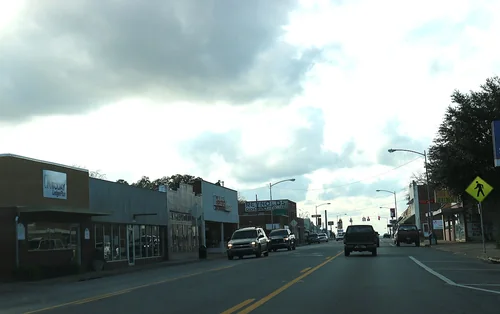
Bainbridge City HallTown

Bainbridge

37 miles northwest · straight-line distanceAbout 50 min by car (40 road miles, typical traffic, checked October 2026)

County seat of Decatur County, Georgia, United States.

Confirm the visitor entrance, hours, reservations, access and seasonal conditions. Islands or water destinations may require different transport.
Chattahoochee FL downtown USTown

Chattahoochee

38 miles northwest · straight-line distanceAbout 50 min by car (44 road miles, typical traffic, checked October 2026)

City in Gadsden County, Florida, United States of America.

Confirm the visitor entrance, hours, reservations, access and seasonal conditions. Islands or water destinations may require different transport.
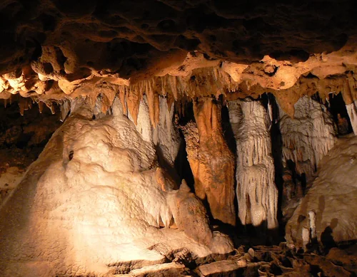
FLCaverns Jan2007, Florida Caverns State ParkState park

Florida Caverns State Park

62 miles northwest · straight-line distance

State park in Florida, United States.

Confirm the visitor entrance, hours, reservations, access and seasonal conditions. Islands or water destinations may require different transport.
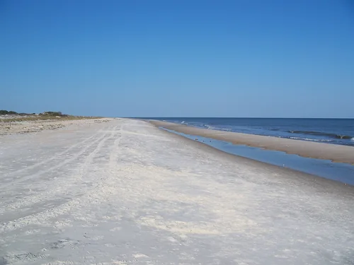
St. George IslandOutdoors

St. George Island

65 miles southwest · straight-line distance

Island in Franklin County, Florida, United States.

Confirm the visitor entrance, hours, reservations, access and seasonal conditions. Islands or water destinations may require different transport.
National park site

Jimmy Carter National Historical Park

111 miles north · straight-line distance

Heritage site in Plains, Georgia, USA.

Wildlife viewingAgency site ↗

Confirm the visitor entrance, hours, reservations, access and seasonal conditions. Islands or water destinations may require different transport.

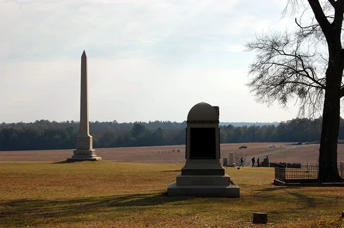
Andersonville Monuments, Andersonville National Historic SiteNational park site

Andersonville National Historic Site

122 miles north · straight-line distance

United States National Historic Site near Andersonville, Georgia.

HistoryPicnickingWildlife viewingAgency site ↗

Confirm the visitor entrance, hours, reservations, access and seasonal conditions. Islands or water destinations may require different transport.

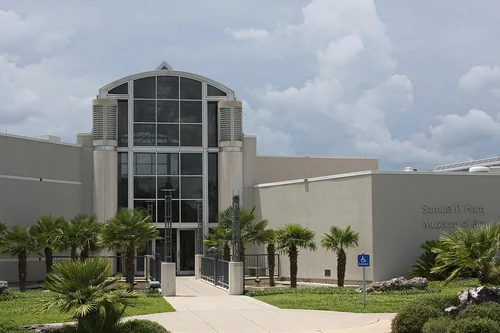
Harn Museum of ArtThings to do

Harn Museum of Art

127 miles southeast · straight-line distanceAbout 2 hr 20 min by car (148 road miles, typical traffic, checked October 2026)

Art museum at the University of Florida in Gainesville, Florida.

Confirm the visitor entrance, hours, reservations, access and seasonal conditions. Islands or water destinations may require different transport.

Driving times are typical estimates from the city center without live traffic, Powered by Geoapify · © OpenStreetMap contributors.

Distances are measured in a straight line from the city, not by road. Some older drive-time estimates have no reliable date and do not reflect current traffic; routes to large parks or waterfronts may vary. Check the destination entrance before leaving. Place descriptions come from Wikidata. Photo credits include capture dates when available; photos may not show current conditions.

Outdoor places near Tallahassee

22 recreation areas and campgrounds within 130 miles, from Recreation.gov. Filter by what you want to do.

Recreation area

St. Marks National Wildlife Refuge

21 miles south · straight-line distanceFish and Wildlife Service

The Refuge was established in 1931 to provide wintering habitat for migratory birds. It is one of the oldest refuges in the National Wildlife Refuge System.

BoatingEducational ProgramsFishingHikingHuntingPhotographyRanger programsWildlife viewing

Campground

Eastbank

39 miles northwest · straight-line distanceAbout 55 min by car (47 road miles, checked October 2026)US Army Corps of Engineers

Eastbank Campground is located on Lake Seminole on the Georgia-Florida state line. The lake and surrounding area provide a variety of outdoor recreational opportunities for fishing, camping, boating, picnicking, hiking, biking and birding.

BikingBirdingBoatingCampingCanoeingFishingHikingKayaking

Recreation area

Lake Seminole

39 miles northwest · straight-line distanceUS Army Corps of Engineers

The Lake Seminole project, originally authorized as the Jim Woodruff Lock & Dam Project by the River and Harbor Act of 1946, was the first of three locks and dams constructed for navigation, hydro-power, recreation and related use purposes…

BikingBoatingCampingFishingHikingHotel/Lodge/Resort Privately OwnedNature educationPicnicking

Campground

Camel Lake Campground

44 miles west · straight-line distanceAbout 1 hr 25 min by car (60 road miles, checked October 2026)USDA Forest Service

Camel Lake Recreation Area provides a quiet place to relax and take in the beauty of the longleaf pine forest. Camping, swimming, hiking, and boating opportunities are all available, focused on the crystal-clear waters of Camel Lake.

CampingFishingHikingSwimmingWater AccessWildlife viewing

Campground

Wright Lake Campground

53 miles southwest · straight-line distanceAbout 1 hr 25 min by car (69 road miles, checked October 2026)USDA Forest Service

Wright Lake is located approximately 25 miles from the Gulf of Mexico in an area known as the Forgotten Coast.

BirdingCampingFishingHikingWater AccessWildlife viewing

Recreation area

Apalachicola National Estuarine Research Reserve

62 miles southwest · straight-line distanceNational Oceanic and Atmospheric Administration

The Apalachicola Bay Reserve protects one of the most productive estuarine systems in the Northern Hemisphere, where the economic value of the natural resources and pristine conditions depend on the region's biological diversity.

PaddlingPhotographyRanger programsSwimmingWildlife viewing

Recreation area

St. Vincent National Wildlife Refuge

65 miles southwest · straight-line distanceFish and Wildlife Service

The Refuge is comprised of two islands and two mainland tracts totaling approximately 12,492 acres. Popular recreational opportunities include fishing, hunting, wildlife viewing, hiking, bicycling, kayaking, and nature photography.

BikingBoatingEducational ProgramsFishingHikingHuntingPhotographyRanger programs

Recreation area

George W. Andrews Lake

75 miles northwest · straight-line distanceUS Army Corps of Engineers

Lake George W. Andrews is named for George William Andrews, who was born in Clayton, Alabama in 1906 and served as a United States Representative from 1944 until his death in 1971.

BoatingCampingHikingHistoryPicnickingWater sportsWildlife viewing

Recreation area

Banks Lake National Wildlife Refuge

80 miles northeast · straight-line distanceFish and Wildlife Service

The Banks Lake National Wildlife Refuge was established in 1985 under the Fish and Wildlife Act of 1956 and the Land and Water Conservation Fund Act of 1965.

BoatingFishingHuntingMotor BoatNon-Motorized BoatingPhotographyWildlife viewing

Recreation area

Walter F. George Lake

94 miles northwest · straight-line distanceUS Army Corps of Engineers

There are 13 Corps of Engineers day use parks and 4 campgrounds on Walter F. George Lake, a great place to camp, fish, boat and picnic.

BoatingCampingFishingHikingHistoryHorseback ridingHotel/Lodge/Resort Privately OwnedPicnicking

Campground

Hardridge Creek

96 miles northwest · straight-line distanceAbout 2 hr 15 min by car (111 road miles, checked October 2026)US Army Corps of Engineers

Hardridge Creek Campground is situated on the shores of Walter F. George Lake on the Georgia and Alabama border. The lake is a great place to get away for a week, a weekend or just an afternoon.

BoatingCampingFishingHikingSwimming

Campground

Cotton Hill

97 miles northwest · straight-line distanceAbout 2 hr 15 min by car (113 road miles, checked October 2026)US Army Corps of Engineers

Cotton Hill Campground is situated on the shores of Walter F. George Lake on the Georgia and Alabama border. The lake is a great place to get away for a week, a weekend or just an afternoon.

BoatingCampingFishingHikingSwimmingWater sports

Recreation area

Lower Suwannee National Wildlife Refuge

104 miles southeast · straight-line distanceFish and Wildlife Service

The refuge is bisected by 20 miles of the famous Suwannee River and includes 30 miles of coastal marsh habitat along the Gulf of Mexico.

BikingBirdingBoatingFishingHikingHuntingMotor BoatNature education

Campground

White Oak (Creek) Campground

106 miles northwest · straight-line distanceAbout 2 hr 35 min by car (132 road miles, checked October 2026)US Army Corps of Engineers

White Oak Creek Campground is situated on the shores of Walter F. George Lake on the Georgia and Alabama border. The lake is a great place to get away for a week, a weekend or just an afternoon.

BoatingCampingFishingSwimmingWater sports

Recreation area

Jimmy Carter National Historical Park

111 miles north · straight-line distanceNational Park Service

Few U.S. Presidents have had such close ties with where they were born and raised.

Wildlife viewing

Campground

Ocean Pond Campground

111 miles east · straight-line distanceAbout 2 hr 5 min by car (124 road miles, checked October 2026)USDA Forest Service

Situated in Baker County, Florida, this campground includes 64 campsites and is open 24 hours/day. All sites are available at recreation.gov. There's something here for everyone in this lakeside campground.

Accessible SwimmingBackpackingBikingBirdingBoatingCampingCanoeingFishing

Campground

Group Landing

112 miles east · straight-line distanceAbout 1 hr 55 min by car (119 road miles, checked October 2026)USDA Forest Service

Group Landing is a secluded area that offers a flexible space accommodating many outdoor activities, from a weekend family camping trip to a midweek company picnic.

CampingFishingSwimming

Recreation area

Cedar Keys National Wildlife Refuge

118 miles southeast · straight-line distanceFish and Wildlife Service

Cedar Keys National Wildlife Refuge was established in 1929 by President Herbert Hoover to protect a breeding ground for colonial nesting migratory birds during a time when market hunters, desiring feathers for the ladies' apparel…

BoatingEducational ProgramsFishingNature educationPaddlingPhotographyRanger programsWildlife viewing

Recreation area

Eufaula National Wildlife Refuge

119 miles northwest · straight-line distanceFish and Wildlife Service

Eufaula National Wildlife Refuge lies within the historical range of the longleaf pine/wiregrass ecosystem and contains remnant longleaf pine stands.

BoatingFishingHikingHuntingMotor BoatNon-Motorized BoatingPhotographyRanger programs

Recreation area

Andersonville National Historic Site

122 miles north · straight-line distanceNational Park Service

Nearly 13,000 men died on these grounds, a site that became infamous even before the Civil War ended. Their burial grounds became Andersonville National Cemetery, where veterans continue to be buried today.

HistoryPicnickingWildlife viewing

Campground

Bluff Creek

128 miles north · straight-line distanceAbout 3 hr 10 min by car (167 road miles, checked October 2026)US Army Corps of Engineers

Bluff Creek Campground is situated on the shores of Walter F. George Lake on the Georgia and Alabama border. The lake is a great place to get away for a week, a weekend or just an afternoon.

BoatingCampingFishingHuntingWildlife viewing

Recreation area

Okefenokee National Wildlife Refuge

130 miles east · straight-line distanceFish and Wildlife Service

The Okefenokee National Wildlife Refuge was established in 1937 as a "refuge and breeding ground for migratory birds and other wildlife.” The refuge conserves the unique features of the Okefenokee Swamp,the headwaters of the Suwannee and…

BoatingCampingEducational ProgramsFishingHikingHuntingMotor BoatNon-Motorized Boating

Recreation areas and campgrounds from Recreation.gov's directory, checked October 9, 2026. Listings are not live availability: check Recreation.gov or the managing agency for open dates, fees, reservations and conditions. Directions go to the listed coordinates, which may not be the entrance. Campground driving times: Powered by Geoapify · © OpenStreetMap contributors.

Questions

What day-trip ideas are near Tallahassee?

This guide includes San Marcos de Apalache Historic State Park, Monticello, Cairo, Thomasville, Econfina River State Park. Places are ordered by straight-line distance. Confirm visitor access, opening hours and current travel conditions before choosing a trip.

How far is San Marcos de Apalache Historic State Park from Tallahassee?

Approximately 20 miles south in a straight line. This is not current traffic or a route to a confirmed visitor entrance. Check your route before leaving.

How far is Monticello from Tallahassee?

Approximately 26 miles east in a straight line; driving takes about 35 min over 27 road miles in typical traffic (Geoapify, checked October 2026). This is not current traffic or a route to a confirmed visitor entrance. Check your route before leaving.

How far is Cairo from Tallahassee?

Approximately 31 miles north in a straight line; driving takes about 45 min over 35 road miles in typical traffic (Geoapify, checked October 2026). This is not current traffic or a route to a confirmed visitor entrance. Check your route before leaving.

Where can I camp near Tallahassee?

Recreation.gov lists 9 campgrounds within 128 miles, including Eastbank (39 miles northwest), Camel Lake Campground (44 miles west), Wright Lake Campground (53 miles southwest). Check Recreation.gov for current availability, seasons and reservations.

Tallahassee AI

Your Tallahassee local guide
Hey there!

I'm Tallahassee AI. Ask about local food, shopping, history or a day out.

AI recommendations may be inaccurate. Verify hours and prices. Questions are processed by Cloudflare. Privacy